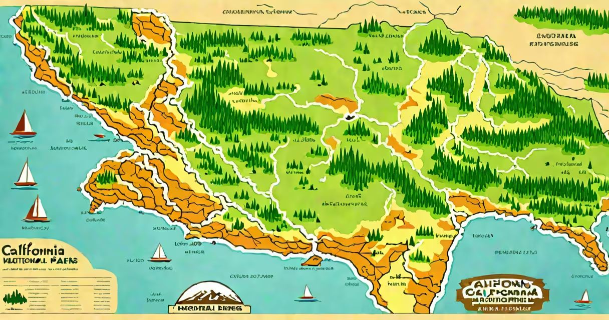
A California national parks map displays the geographic locations, boundaries, and access points for the nine U.S. National Parks within California's borders. These parks protect ecosystems ranging from alpine meadows to ancient sequoia groves and are managed by the National Park Service.
The map includes official park entrances, visitor centers, trailheads, campgrounds, and elevation contours. It serves as a planning tool for hikers, campers, and sightseers who want to visit protected landscapes such as Yosemite Valley, Kings Canyon's General Grant Grove, and Lassen Volcanic's hydrothermal areas.
Each park's location is verified by the National Park Service and updated annually. The map uses standardized cartographic symbols: red dots mark visitor centers, blue lines indicate rivers and trails, and shaded relief shows terrain changes. Digital versions integrate GPS coordinates and real-time weather overlays.
California national parks maps are generated from Geographic Information System (GIS) data maintained by the National Park Service. This system combines satellite imagery, ground surveys, and historical records to produce accurate spatial representations.
Maps show both physical features-like granite cliffs in Yosemite or lava tubes in Lassen-and human-made infrastructure such as roads, parking lots, and restrooms. For example, the map of Sequoia National Park highlights the Tunnel Log, a fallen tree that was carved through to allow vehicle passage, and the Giant Forest, home to trees over 2,000 years old.
There are three primary types of California national parks maps:
| Type | Use Case | Detail Level | Source |
|---|---|---|---|
| Official NPS Print Map | Backcountry navigation, multi-day trips | High: includes contour lines, trail markers, and emergency contacts | National Park Service |
| Interactive Web Map | Day hikes, family outings, itinerary planning | Medium: shows roads, trailheads, and real-time alerts | National Park Service website |
| Topographic Map (USGS) | Technical navigation, climbing, surveying | Very high: 1:24,000 scale, elevation in feet | U.S. Geological Survey |
Print maps are required for overnight backpacking in parks like Lassen and Kings Canyon due to their detailed elevation data and lack of reliance on battery-powered devices. The USGS topographic maps, available free at usgs.gov, provide precise contour intervals and are essential for avoiding sudden terrain drops.
I once used a USGS map during a solo hike in the High Sierra near Mount Whitney. A storm rolled in unexpectedly, and my phone died. The map's 20-foot contour lines helped me identify a safe descent path away from a rockfall zone. Without it, I'd have had to wait out the weather in exposed terrain.
Many assume all California national parks are accessible by car. That's false. Only five of the nine parks have paved roads leading to major attractions. The other four-such as Anza-Borrego Desert State Park (not a national park) and parts of Lava Beds National Monument-are remote and require off-road vehicles or hiking.
Another error: confusing national parks with state parks. California has 278 state parks, but only nine are national parks. The National Park Service manages national parks; state parks fall under the California Department of Parks and Recreation. A single map cannot accurately represent both systems.
For example, the map of Lassen Volcanic National Park shows the Bumpass Hell trailhead at 7,000 feet elevation. This trail leads to steaming fumaroles and sulfur vents. But the adjacent Butte Lake area, often mistaken for part of the national park, lies outside its boundary and is managed by the U.S. Forest Service.
The most accurate California national parks map is published by the National Park Service. It's available in print at visitor centers and online at nps.gov/california. The site offers downloadable PDFs with clickable links to individual park pages.
When using the map, always check for seasonal closures. In winter, snow closes the Tioga Pass Road in Yosemite, cutting off access to Tuolumne Meadows. The map marks this closure with a red dashed line and a warning icon. Ignoring it risks getting stranded in sub-zero temperatures.
Every California national parks map is a living document. New trails are added, old ones are rerouted, and natural events like wildfires alter access. Always verify current conditions before departure using the NPS website or the free "Recreation.gov" app.