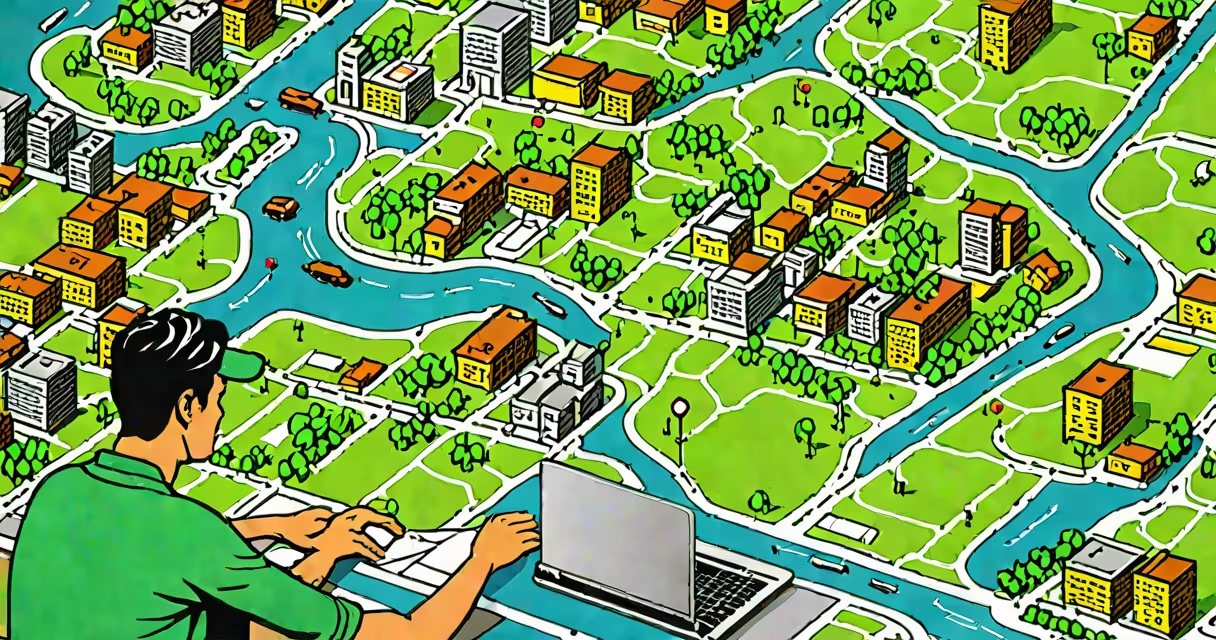
A gis bachelor degree is an undergraduate program that teaches students to collect, analyze, and visualize geographic data using specialized software. Graduates can interpret spatial patterns in population distribution, land use, climate change, and infrastructure. This degree combines geography, computer science, and data analysis.
Students learn to create maps that show changes over time, such as urban growth or wildfire spread. They use tools like ArcGIS Pro and QGIS to layer satellite imagery, census data, and terrain models. The curriculum includes courses in database management, remote sensing, and spatial statistics. Graduates often work in government agencies, environmental consulting, or transportation planning.
According to the U.S. Bureau of Labor Statistics, demand for geospatial analysts is rising, with a projected 16% job growth -faster than average. A gis bachelor degree provides the foundation for roles in disaster response, public health tracking, and smart city development.
Programs typically span four years and require 120-130 credit hours. Core courses include introductory geography, calculus, and programming in Python or SQL. Students gain hands-on experience through lab sessions and field projects.
One course, "Spatial Data Modeling," teaches how to represent real-world features-like rivers or roads-as digital points, lines, and polygons. Another, "Remote Sensing Fundamentals," covers interpreting images from satellites and drones. These skills allow graduates to detect deforestation, monitor crop health, or track storm movements.
Fieldwork is common. In one project, students mapped flood risk zones in a coastal town using historical rainfall data and elevation models. They overlaid this with building locations and evacuation routes. The resulting map helped local officials plan emergency responses.
While most programs are called "Bachelor of Science in Geographic Information Systems" or "Geospatial Technology," variations exist based on focus:
| Type | Focus Area | Typical Courses | Common Career Paths |
|---|---|---|---|
| B.S. in GIS | Technical application and data processing | Advanced GIS, Python scripting, database design | Environmental analyst, transportation planner |
| B.S. in Geospatial Science | Earth sciences and environmental monitoring | Remote sensing, hydrology modeling, climate data analysis | Climate researcher, conservation officer |
| B.S. in Cartography and Visualization | Map design and communication | Visual perception, interactive web maps, storytelling with data | Public information specialist, museum exhibit designer |
Some schools offer dual majors, such as combining GIS with computer science or environmental policy. This allows students to tailor their education to niche roles, like developing AI-powered flood prediction tools.
Government agencies rely on gis professionals to manage infrastructure. The Federal Emergency Management Agency (FEMA) uses GIS to assess damage after hurricanes. After Hurricane Ian in 2022, FEMA teams mapped power outages and road closures within 48 hours of landfall. This enabled faster deployment of aid crews.
Private companies use GIS for logistics. Amazon's delivery network uses spatial algorithms to improve package routes. A 2021 study by the National Academy of Sciences found that GIS-integrated routing reduced fuel consumption by 12% in urban areas.
Nonprofits use GIS to track humanitarian crises. Doctors Without Borders used spatial analysis during the 2020 Ebola outbreak in West Africa to identify high-risk villages and allocate medical supplies efficiently.
Many assume a gis bachelor degree is purely about drawing maps. In reality, it emphasizes data analysis and decision support. A map showing disease clusters in a city is not just visual-it reveals patterns that inform public health interventions.
Another misconception is that GIS requires advanced math. While statistics and geometry are part of the curriculum, most tools handle complex calculations automatically. The focus is on interpreting results, not performing them manually.
One key distinction: GIS is not the same as GPS. GPS provides location coordinates. GIS integrates those coordinates with other data layers-such as soil type or traffic flow-to generate insights. For example, a city might use GPS data from buses combined with traffic congestion data to adjust bus schedules in real time.
During my time teaching an introductory GIS course, I observed students struggle with coordinate systems. One student tried to overlay a map of U.S. counties with a dataset of global temperature anomalies. The mismatched projections caused the layers to appear misaligned. After learning about projection transformations, they corrected the alignment and discovered a correlation between regional heatwaves and increased emergency room visits.
While similar, a gis bachelor degree differs from other fields in focus and tools used:
GIS programs integrate elements of both IT and analytics but prioritize spatial reasoning. A graduate with a gis bachelor degree can perform tasks that others cannot-such as predicting landslide risks based on slope, rainfall, and soil moisture data.
For example, a 2023 report by the American Society for Photogrammetry and Remote Sensing highlighted that 78% of federal agencies now require a gis bachelor degree for mid-level positions in environmental assessment. This reflects growing reliance on spatial data in policy-making.
Students who complete a gis bachelor degree emerge equipped to solve problems tied to place. Whether analyzing the spread of invasive species or designing bike lanes in dense cities, they bring precision and insight to decisions grounded in location.